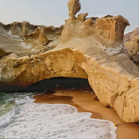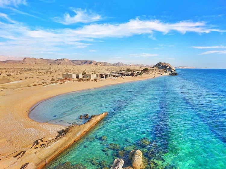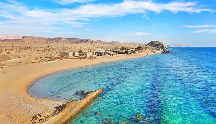
Banood Region; View of Coastline
Banood is the name of region located in Asaluyeh city near coastline. The most popular part of Banood region is Banood village and Banood rocky coastline. Keep reading so that myDorna makes you familiar with Banood Region.

Description
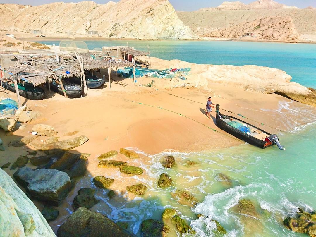
A suitable region for fishing walking and doing beach sports. Banood region is located in southeastern of Asaluyeh near Chah Mobarak. Jobs of people who are living there are farming fishing, and animal husbandry.

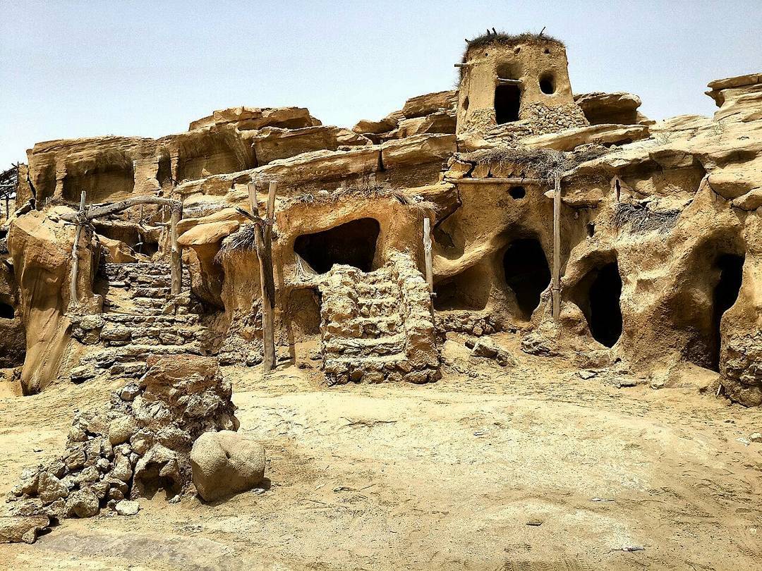
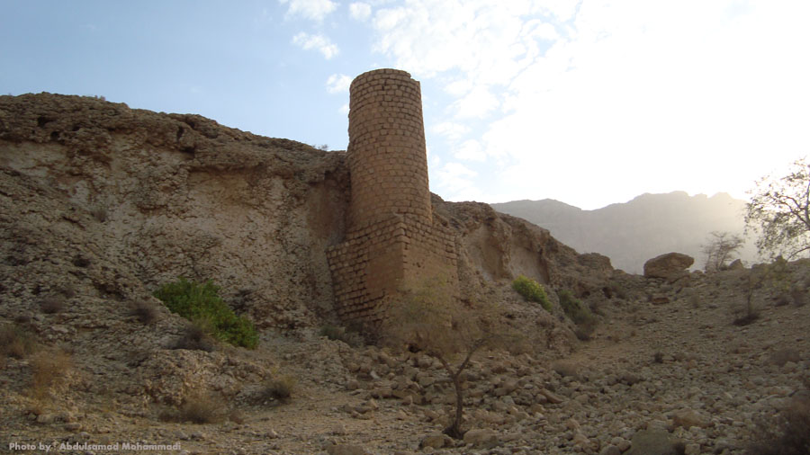
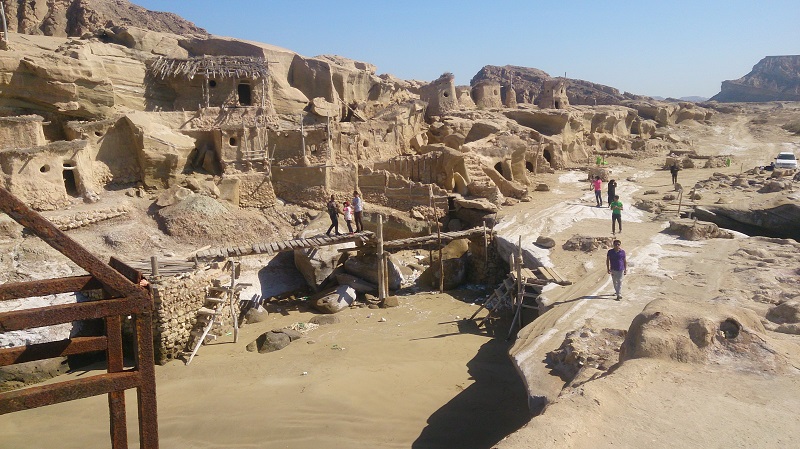
Population of the region is nearly 800000 or more and most of them are Shia and Sunni. This region is considered as the border of Hormozgan and Bushehr province. People of here are hospitable and warmhearted. Banood Region also has a rich history and some watermills are our evidences that date back to Sassanid era.

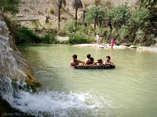
Rivers, palm trees and coastline are suitable parts of Banood region for everyone. As we referred, here are historical parts near here which are recorded as national monuments like water mills of Bando, small lakes dating back to Sassanid era, Bando dam and Nahir river.

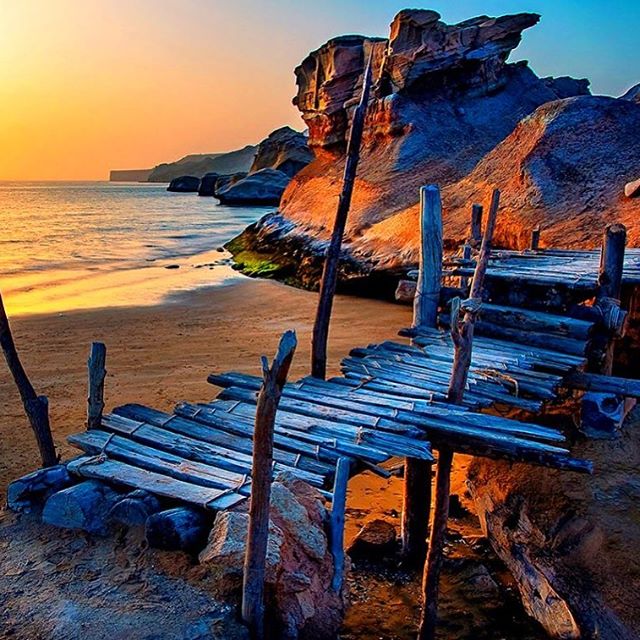
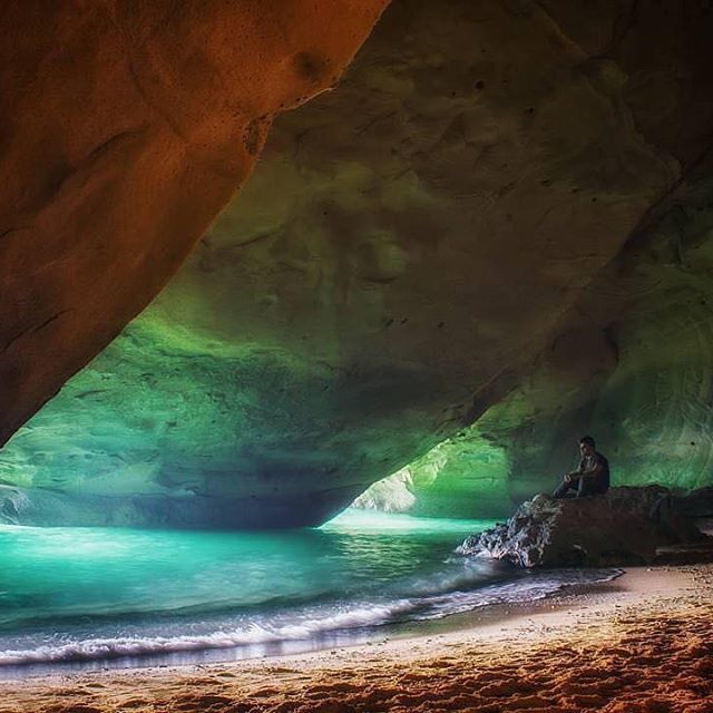
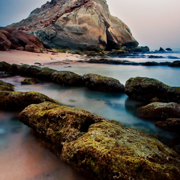
The most attractive region near Banood is its rocky coastline. You can enjoy watching the view of tall rocks near the beach, walking around and taking masterful pictures. But don’t try to swim in a beach because in Persian Gulf, sharks live.

How to Get There?
Follow Bandar-e Kangan Highway from Asaluyeh to Chah Mobarak. After reaching Chah Mobarak, follow the southern way to Banood.
Address: Iran, Bushehr Province, Asaluyeh City, Banood Region
Leave your comments about this place below.